Hey, I’m Kacper Goliński. The Software Engineer with a passion for cycling.
I'm a software engineer passionate about solving problems and creating innovative solutions. Based in Gdańsk, Poland, I bring a combination of technical skills and creative thinking to every project. When I'm not coding, I love to hit the open road on my bike.
I specialize in coding with Elixir, Phoenix LiveView, Ruby, React, Typescript, PostgreSQL and PostGIS, and I love using these technologies to build scalable and reliable applications. I also have a passion for creating maps using MapLibre and Leaflet, which allows me to bring my love for technology and my love for outdoors together.
Projects
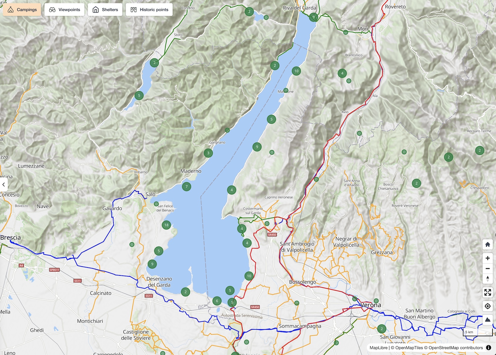
VeloPlanner
It's an interactive map where you can find signposted cycling routes (not MTB yet) and various POIs (campgrounds, shelters, viewpoints, and historic points). Everything is powered by OpenStreetMap.
Tech: Elixir/Phoenix, TypeScript, MapLibre, and Postgres/Postgis.
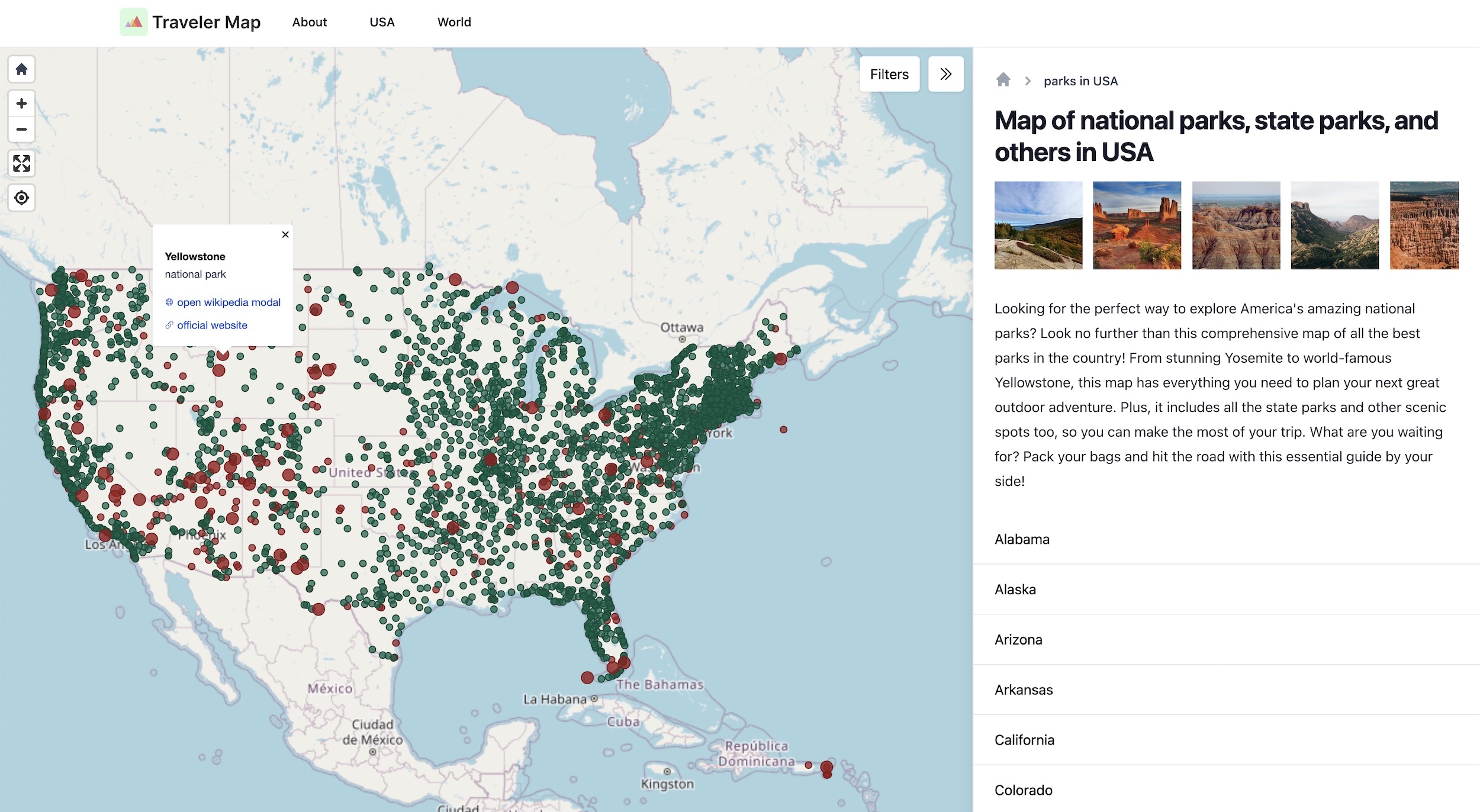
TravelerMap
TravelerMap is a website that showcases the beauty of National Parks and other outdoor destinations. Built using the powerful combination of Elixir and Phoenix LiveView, this site offers a dynamic and interactive user experience, with real-time features such as live search. To make sure photos are looking their best, I also created a custom AWS S3 + Lambda solution that automatically processes and optimizes images for display.
Tech: Elixir/Phoenix/LiveView, TypeScript, Maplibre, Postgres/Postgis.
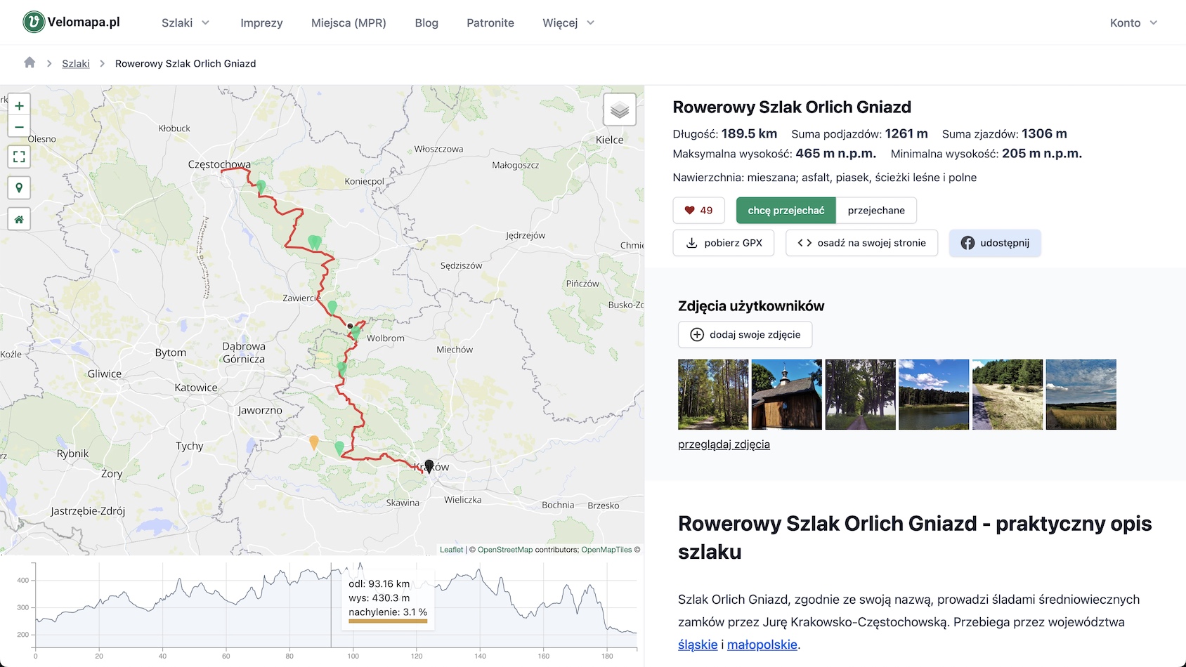
Velomapa
It is one of the most popular websites for cyclists in Poland. The site features a wealth of helpful information, including GPX track downloads. It has social features which allows users to upload photos, add reviews, and like routes.
Tech: Elixir/Phoenix, TypeScript, Maplibre, Postgres/Postgis, AWS S3 and Lambda for photo processing.
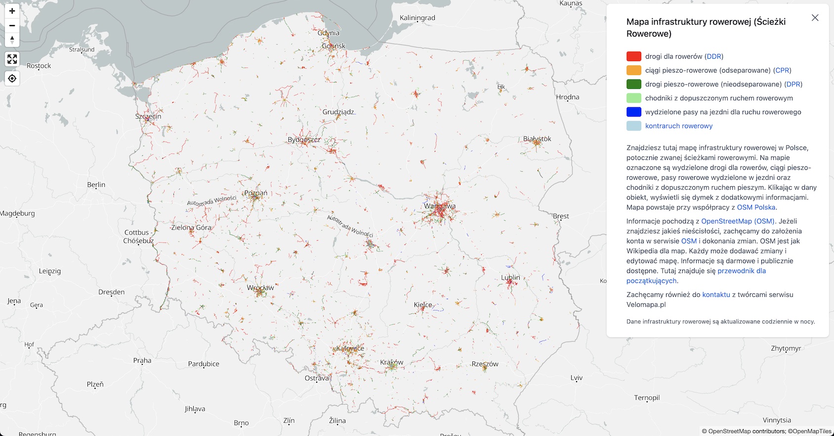
Map of bicycle infrastructure
The Bicycle Infrastructure Map project is a prime example of using technology to improve the cycling experience in Poland. The objective of the project was to provide cyclists with a tool for planning safe and efficient routes using designated bicycle infrastructure. To achieve this goal, the project leveraged data from OpenStreetMap which are updated daily. The solution also aimed to help OpenStreetMap editors identify missing or incorrect data.
To deliver this project, I developed a lightweight tile server using Go lang, resulting in fast and efficient map rendering.
Tech: TypeScript, Maplibre, custom Go mbtiles server, OSM tools.


